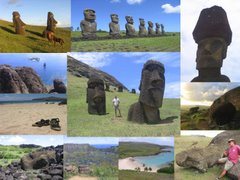
Even aside from Lake Titicaca, La Paz, Potosi and Saler de Uyuni, I could write pages and pages about Bolivia. What a country.
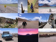
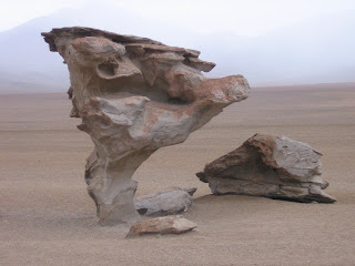
Our last two days were a long drive across the uninhabited high plateau of South-East Bolivia.
Though I was still exhausted by altitute-induced insomnia, and though we spent 75% of our time on the truck, this part of the trip was something special - time to reflect, and time to absorb some incredible scenery.
There are no roads across this part of the altiplano and just a few intrepid tourists venture here typically on guided tours by 4x4. For a 16 tonne truck the going is slow and our crew
 needed the assistance of an experienced local guide.
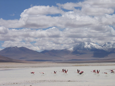
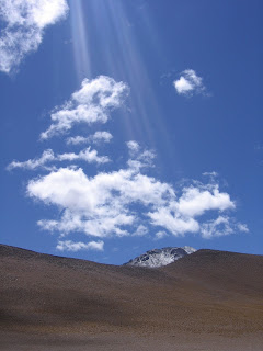
Here´s just some of the unbelievable views from the truck on the last day in Bolivia.
My last night at altitude (4100m) was as restless as any other added to which was a hitherto unexperienced coldness that went right to the bone. The reward in the morning though was a picturesque landscape dusted in snow.
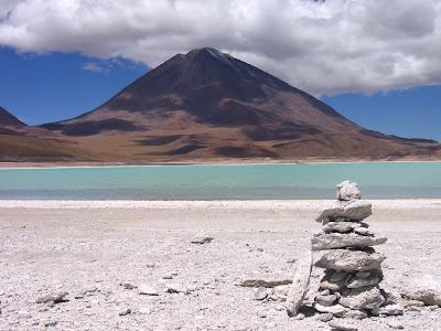
Our last stop in Bolivia was Laguna Verde, a mineral and metal rich lake at the foot of the giant volcano Lincancabur, which straddles the Chile/Bolivia border.
The last few miles to the border took us right to the edge of the Andean plateau. 1800m below us and only 20 km away was the small town of San Pedro de Atacama and around the town in all directions stretched the Atacama desert.