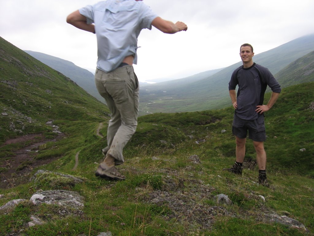
I like this pic. It sums up the weekend – obsessed with gadgets, full of energy and largely incompetent.

The same shot after I worked out how to use the timer on the camera. Loch Ossian Youth Hostel - our overnight stay and starting point – is 10 miles behind us.
The man at C&A look didn’t last long.
One man and his GPS:
 By lunchtime on the Saturday we had already been to the top of Ben Alder. Ben Alder is a huge hulk of a mountain and it must be difficult to find the top at the best of times – the cloud was thick enough that we had a genuine need to use the handheld (or ‘necklace’ as worn here) GPS.
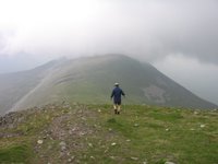 We went on to climb Ben Bheoil in the afternoon. This Munro is less imposing but in a beautiful spot between Ben Alder and Loch Ericht. We had to walk the length of Loch Ericht to get to Dalwhinnie.
Deer were never far away.
Though we didn’t know it, by early on Saturday evening a torrential downpour wasn’t far away either…
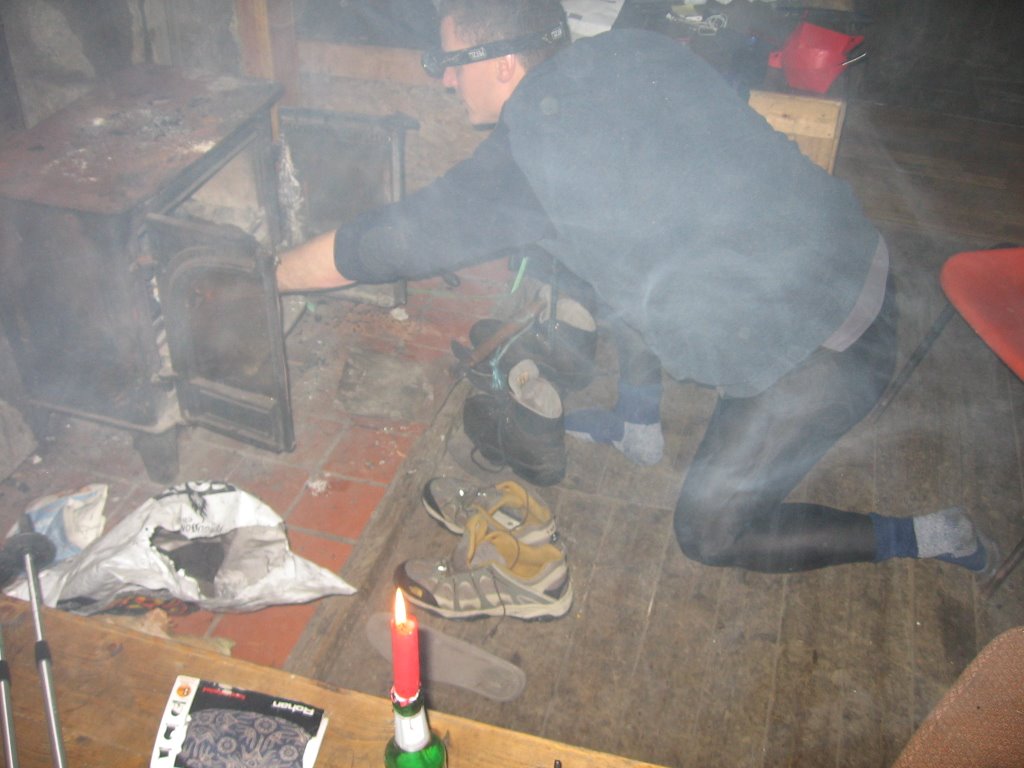 No pictures of the perfect storm survived, but we did… just, and staggered on to Culra Bothy. Here a stylishly clad Tom can be seen thrusting his extremities into a burning stove to try to dry off. Despite smoking out the bothy with our fire, all our clothes (and phones, ipods, the lot) were soaked through for the rest of the trip.
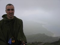
 As so often in Scotland, the worst predictor of the next day’s weather is the weather the day before. Ben Alder is the huge mass of peaks and colls in the centre-left of the frame. Incidentally, the early-morning light is perfect in this picture, possible only because I forgot to bring anything to sleep on and woke up at 6am on Sunday morning on a hard bunk with aches and pains all over.
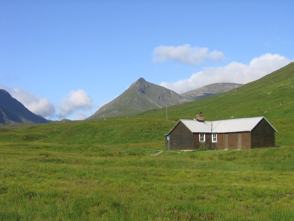
The Culra Bothy. This saved us from having to camp and cook in sheet-rain and did wonders for our weary feet. Thank you bothy!
Tom – Navigator, Tent Carrier, Cook…

...but there’s nothing easy about being the expedition photographer, website manager and artistic director.
So that was our marathon weekend in the highlands. Starting from Corrour on the west coast rail line, we did a huge 26.5 miles on the Saturday, mostly up and down mountains. We walked another 18 miles on the Sunday to get across to Dalwhinnie and the A9 for the bus home. Anyway, that’s my excuse for looking like a complete girl in this photo.
End result: a mighty 44.5 miles walked over three days. I’d also done 6 miles through the botanic gardens and along Roseburn Path on Thursday night, taking my total to 189 miles.
Thanks Tom for a superb weekend. BTW, still haven’t been yet.